After a flood the most common questions are how unusual the rainfall was, how large the flow was and which structure or cross-section could not pass the water. A technical review tries to answer these with measurable data. This article does not assess any event; it describes the general stages of a review and the uncertainty in each. Determining a cause should rest on the competent authorities' official reports and sufficient data.
Purpose: separating what happened from why
A review first describes the event itself: where water reached, how high it rose and how long it lasted. Only then does it turn to causes: rainfall magnitude, catchment conditions, structure capacity and channel state. If the two steps are mixed, causes not supported by observation can be asserted. The aim is not to point at someone responsible but to build a reliable hydraulic basis for future design and measures, so results are reported with their assumptions. The findings can also be used to ask whether current design criteria and the monitoring network are adequate.
Safety and authority first
Access to affected areas follows the instructions of the competent authorities. Because of damaged structures, currents, electricity and slippery ground, a site visit should happen only if it is safe and permitted. Measurement and observation records and damage assessments held by authorities are usually that authority's data; access and use conditions should be clarified with it. Measuring or photographing on someone else's property also needs permission. Even on permitted sites, measurements should be planned so they do not obstruct work carried out by the competent authorities.
High-water mark data
Mud lines, seed and debris lines, and water marks on walls and trees give direct evidence of the peak water level. Most marks are perishable and can disappear with rain, clean-up and time, so photographs, location, date-time and mark type are recorded and the elevation is surveyed where possible. Mud lines inside buildings can sit below the outside water surface if the interior had little hydraulic connection to the outside, so each mark is rated for reliability. USGS TM 3-A24, “Identifying and Preserving High-Water Mark Data”, gives detailed methods for identifying, evaluating and temporarily preserving marks. For each mark the survey method, estimated uncertainty and mark type (inside, outside or on vegetation) are recorded, so that later model comparison can weight the marks by confidence.
Rainfall and flow records
Rainfall and flow data are compiled from official gauging stations, authority records and radar where available. The record interval, observation time and how well the station represents the catchment are noted. Observed rainfall can be compared with IDF curves for different durations, but because the return period can differ with duration it is not reduced to a single number. The return-period concept is used to compare against design conditions, not to prove that an event was rare. Where flow could not be gauged, an indirect discharge estimate can be made from marks and cross-section geometry; this method has its own uncertainty and must be stated in the report.
Examining structures and cross-sections
Bridge, culvert and cross-section geometry are measured in the field, and any partial blockage, channel change and scour around the structure are recorded. Scour can occur not only at bridge piers but also at culvert outlets and along bed margins, so observations include the bed and slope conditions around the structure. FHWA's HEC-18 covers the evaluation of bridge scour. With surveyed geometry and mark elevations together, the level at which a structure's conveyance was exceeded can be computed, based on normal and critical depth. The structure's design and as-built drawings and maintenance records are compared with the site; where they differ, the calculation uses the real geometry.
Rebuilding with a model and calibration
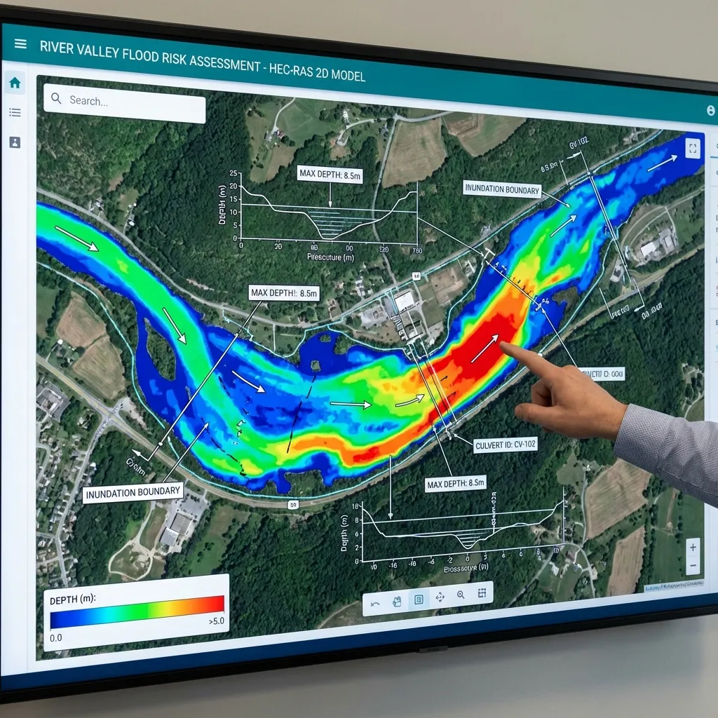
The data are entered into a HEC-RAS model, which is adjusted by comparing it with the surveyed marks. The most uncertain parameters are usually roughness, boundary conditions and discharge; see hydraulic model calibration, model uncertainty and roughness sensitivity. A calibrated model can help compare how the same rainfall would behave under different structure or channel conditions. Results are issued as a report that states data gaps and the range over which the calibration holds. Calibration means tuning parameters to one event; whether the same parameters hold for events of other magnitudes must be tested separately.
Sources and related articles
Let's plan data collection and model set-up for a structure or stream reach together.
Request a project quote