Manning n represents flow resistance. A material label alone may not capture vegetation, irregularities and meandering. It helps owners understand changing levels under flows or maintenance conditions. Use observations, references, appropriate zones and measured-event checks. Do not adjust roughness arbitrarily to conceal another model error.
What roughness represents
Bed material, irregularity, obstructions, vegetation and alignment contribute to resistance. Main channel and floodplain may require different n values. Submergence and effective section change with flow. Tables are starting estimates, not measurements. State the represented surface and flow conditions, and check whether extreme n values are compensating for geometry or boundary errors.
Breaking estimates down with Cowan
Cowan uses n = (n0 + n1 + n2 + n3 + n4) × m5: base material plus irregularity, section variation, obstructions and vegetation, with a meandering multiplier. ArchSu preserves this structure. Avoid double-counting effects and link choices to photographs, sections or references. The estimate is traceable but still needs measured-flow and level checks where available.
Defining roughness zones
Define cross-section zones in 1D and suitable land-use/roughness areas in 2D. Align them with current surfaces and terrain coordinates, using field evidence rather than map colours alone. Check how the software version transfers values into cells, faces or components. A mapped n does not prove identical computational use. Document preprocessing and plan changes.
Setting up a sensitivity experiment
Choose supported low, central and high n ranges. Hold flow, geometry, boundaries and settings fixed, comparing critical levels, velocities and extent. Increasing n does not necessarily change every output uniformly because storage and redistribution matter. Inspect checkpoints, compare decision thresholds and identify where better field evidence is needed.
Maintenance and calibration
Deposits and vegetation change both geometry and resistance; represent them separately rather than simulate lost area solely by increasing n. Check data, geometry, flows and boundaries before calibration within plausible n ranges. Validate event-fit values at other flows. Specify geometric and roughness changes between existing and maintained conditions so required maintenance is clear.
Delivering a reproducible model
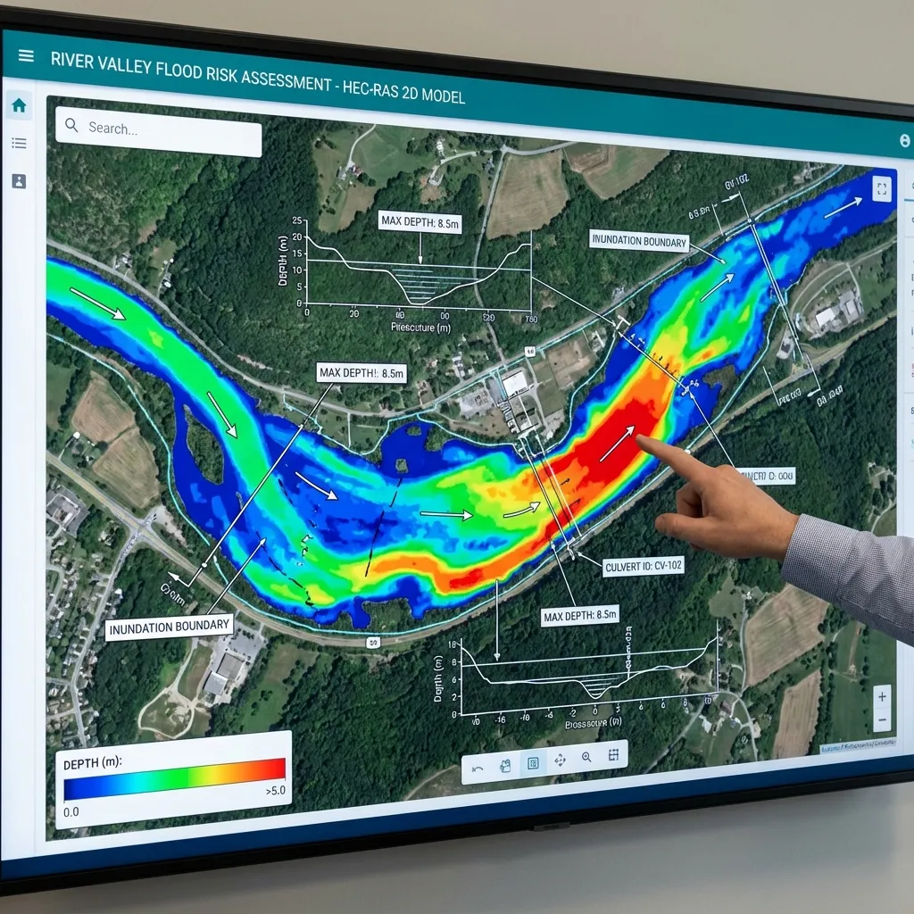
A hydraulic-model delivery package should include the software version, terrain, geometry, flow files, computation plan and output settings. Screenshots alone do not allow the model to be rerun or later project revisions to be assessed. Define the coordinate system, elevation reference and units clearly in the report. Each scenario's name, data source and changed parameters should be traceable. This allows the design team to identify the calculation conditions associated with every map.
Review volume balance, computation warnings, water-level and flow time series at important locations, and the physical meaning of the results together. A run that finishes without errors is not, by itself, engineering verification. Explain areas with insufficient data and processes the model cannot represent. For the owner, the delivery scope can be defined through the required maps, technical report, model files and any alternative-design comparisons. Sharing the study boundary and available surveys with ArchSu helps describe the modelling requirements realistically.
Use the related calculation tool
Sources and related articles
Let's discuss your project's data requirements and reporting scope.
Request a project quote