In the news and in everyday speech, “sel”, “taşkın” and “su baskını” are often used interchangeably. In engineering work they raise different questions: where did the water come from, how fast did it arrive, which structures or areas are affected and what data should be examined? This article does not assess any event or location; it explains in general how official Turkish texts use the terms and what each case requires.
“Sel” and “taşkın” in official texts
The Flood and Sediment Control Regulation (Taşkın ve Rüsubat Kontrolü Yönetmeliği) defines “sel” as a mass of water arriving suddenly from side streams after severe rainfall and carrying a large amount of sediment. It defines “taşkın” as a watercourse leaving its bed for various reasons and reaching surrounding land, settlements and infrastructure at a magnitude that disrupts normal socio-economic activity. In the regulation, sel is therefore a fast, sediment-laden flow, while taşkın is a river exceeding its channel. AFAD's disaster-management glossary words “sel” more broadly: floodwater leaving its bed and covering wide flat or low areas for a period. A term in a report or map should be read with that document's own definition.
There is no common definition of “su baskını”
Neither the regulation nor the AFAD glossary gives a separate definition of “su baskını”. In everyday use it usually means water entering streets, basements, underpasses or buildings during rain. Different causes can sit behind the same scene: a stream overflowing, a stormwater network exceeding its capacity, surface water with no outlet, or a blocked culvert. The sentence “there was water flooding” therefore does not yet state a cause; the key question is where the water came from.
Each case needs different data
For a quick flow from a small, steep catchment, peak discharge, short-duration rainfall intensity and time of concentration matter, and sediment and floating debris raise the risk of blocked structures; see rainfall intensity and IDF curves. For river flooding along a long reach, hydrograph volume and duration, cross-section geometry, bridge and culvert effects and downstream backwater are also needed. For stormwater-network flooding, pipe and inlet capacity, surface topography and the receiving water level are examined.
Hazard maps, risk maps and return period
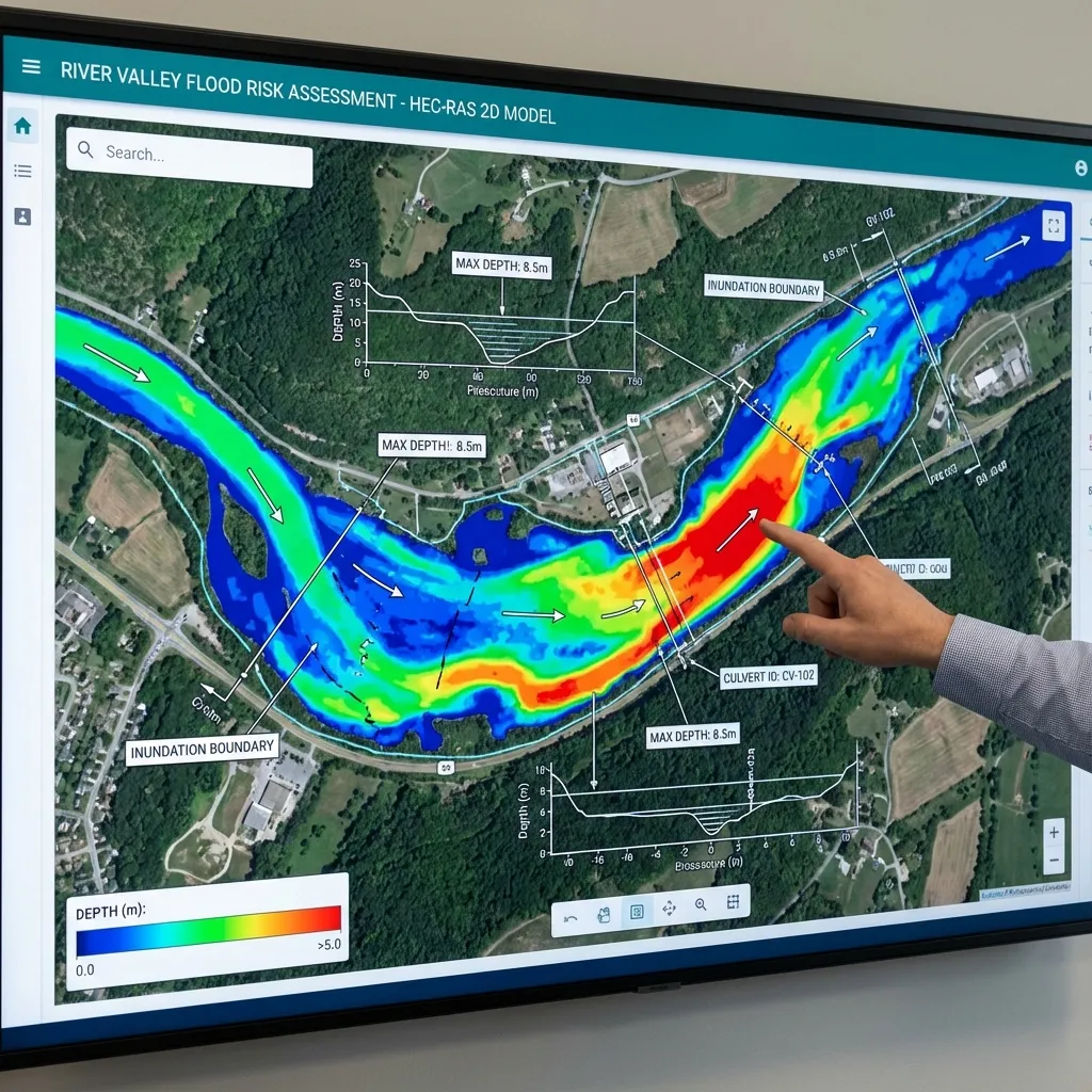
The regulation defines a flood hazard map as one made with water velocity and depth for different flood return-period discharges, and a flood risk map as one showing the population, economic activities, polluting facilities and protected areas likely to be affected. The Water Management General Directorate of the Ministry of Agriculture and Forestry states that flood management plans consist of a preliminary flood risk assessment, hazard maps, risk maps and a programme of measures. A “100-year flood” expresses an annual exceedance probability under stated assumptions; it does not mean a flood occurs regularly every hundred years. See return period and hazard maps.
How to read the terms in news and reports
When a news item or report uses “sel”, “taşkın” or “su baskını”, it helps to check which source and definition the word rests on. The choice of word alone does not establish where the water came from; a cause can only be shown with measurements, field observation and the competent authorities' assessment. For figures and dates, the relevant authority's own statement should be used and its publication time noted, since such information can be updated in the first days.
Why the distinction matters for a parcel or building
Anyone asking about a parcel's flood situation first needs to know by which mechanism water could arrive. Official maps may not cover every stream or every local drainage problem, so their scope should be checked with the authority or the document itself. Comparing parcel and building elevations with results is a separate study; see parcel flood risk. Any authority opinion or permit outcome always rests with the competent authority.
Sources and related articles
Let's determine which flood data your parcel or project needs.
Request a project quote