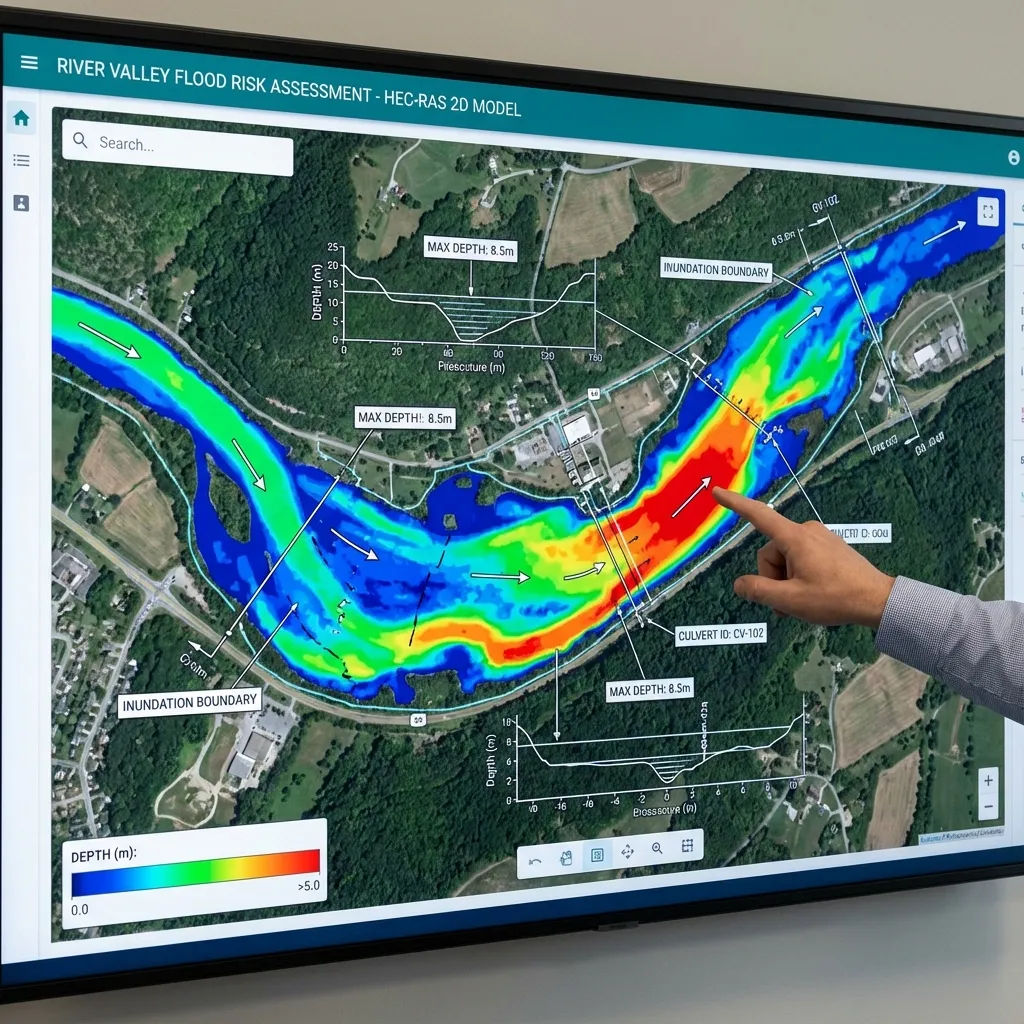
Distance from a stream alone cannot define parcel risk. Slopes, depressions, road embankments, bridges and low entry points influence flow. Different parts of one parcel may experience different depths and velocities. Compare current survey and building layout with hydraulic results. The assessment should explain elevation relationships relevant to use, rather than simply display a flood boundary.
Current survey and a common vertical reference
Define surrounding terrain, channel bed, bank crests, roads and entry thresholds within a consistent survey and reference system. Comparing elevations from different sources without checking their vertical datums can cause serious errors. Labels may refer to a local benchmark or a national datum. Document the real-world elevation of the architectural zero. Survey dates matter: later fill, excavation or channel work may invalidate an old terrain model.
Check entry routes as well as floor levels
A floor above the calculated water surface does not protect every entry route. Examine basement ramps, thresholds, vents, service openings and low garden connections. Groundwater, sewer backup and local drainage may need separate assessment beyond the river-flood model. Mark each low point and elevation on the plan so that a protected main floor does not conceal an exposed route into the structure.
Off-site effects of fill and walls
Raising land or adding walls changes conveyance and temporary storage. Redirected water can increase levels on neighbours or roads. Compare existing and proposed conditions under identical discharge and boundary conditions, representing constrictions, culverts and wall-end transitions. Reduced depth on the owner's parcel is not a complete assessment: examine flow continuity, surrounding critical locations and maintenance needs.
Access and use scenarios
The connecting road may flood before the building surroundings, affecting access, servicing or operations. Define the study domain to include relevant roads and hydraulic connections rather than the ownership boundary alone. Report building, internal-road and external-access checkpoints for different return periods. This shows which uses are affected by each scenario without implying conclusions about routes outside the assessed domain.
An illustrative elevation check
Suppose water is at 102.40 m, the main floor at 102.90 m and a ramp low point at 102.10 m. The floor has a 0.50 m difference while the ramp lies below water. One favourable comparison does not describe the whole building. Assess survey and model uncertainty, velocity and entry details separately. These illustrative numbers are not design recommendations or required allowances. Record each checkpoint's scenario and vertical datum in a table.
Translating results into project decisions
A project owner should receive more than a coloured map. The report should bring together the data inventory, survey date, horizontal and vertical reference systems, method used to obtain discharges, scenarios examined and limits of the model domain. Legends, scales, scenario names and elevation references make maps easier to compare with architectural or infrastructure drawings. Calculations should explain the reasoning behind a decision and identify the assumptions whose revision would require the results to be reconsidered.
At quotation stage, share the study boundary, structure type, available surveys and expected deliverable files. These details help define the scope and additional data requirements. Discharges, elevations or design approaches taken from another project should not be transferred directly to this site. The competent authority's project-specific requirements are checked separately. A flood assessment does not guarantee that no future event will occur; it provides an engineering basis for understanding risk and comparing mitigation options under the selected data and scenarios.
Sources and related articles
Let's discuss your project's data requirements and reporting scope.
Request a project quote