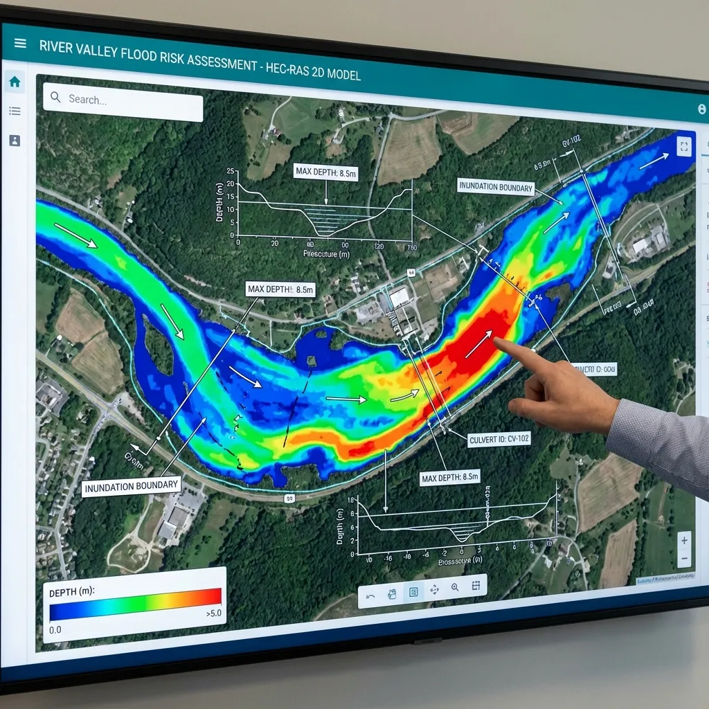
A project owner searching for a DSİ flood report first needs to understand the technical study being requested. In everyday usage, the term may refer to a hydrological and hydraulic study or a flood analysis report. The report name, study boundary and deliverables are clarified using the authority’s written request. The technical report presents engineering findings; the authority’s opinion is a separate administrative assessment.
Report, authority opinion and building permit
A flood analysis report explains surveys, discharge calculations, hydraulic model assumptions and findings for the project area. A DSİ or municipal opinion is the authority’s assessment of that work and other project information. Delivery of a technical report alone does not constitute a building permit or an authority opinion. ArchSu’s service covers analysis and technical report preparation.
When may a report be requested?
Development planning and a parcel’s building-permit process are different stages. Article 14 of Turkey’s Flood and Sediment Control Regulation addresses consideration of flood management plans and DSİ flood boundaries in development planning near rivers. For planning areas without DSİ flood boundaries, it sets out a hydrological and hydraulic study and authority-opinion process. This should not be interpreted as automatically requiring the same report or model for every parcel. Applicable planning notes and the competent authority’s written request must also be reviewed.
How is the written request reviewed?
The project address, study boundary, report purpose, required technical work and file formats are read together. The request’s date and version are recorded; attachments and previous opinions are compared with the study scope. Whether the study needs to cover only the parcel or a wider river reach is established early. If the scope is unclear, the project owner can seek clarification from the authority before work begins. A request for another project cannot replace the current project’s requirements.
What data should be prepared?
The initial package includes location and parcel boundary, project type, existing and proposed building elevations, terrain surveys and information on river structures. Rainfall and flow records, catchment characteristics and the usability of previous hydrological studies are reviewed. Maps and surveys should identify their coordinate system, vertical datum, survey date and coverage. Missing files are recorded at quotation stage; additional surveys and data acquisition are planned separately.
The flood-study data guide and printable checklist help you prepare for the first discussion.
What does the analysis and report explain?
The hydrological study justifies the flood discharge or hydrograph for the conditions selected for the project. The necessary hydraulic assessment considers river geometry, bridges and culverts, boundary conditions, roughness and model checks together. A 1D, 2D or coupled approach is selected according to terrain, flow conditions and study purpose. Neither 2D modelling nor identical return periods are assumed necessary for every project.
The technical report records data sources, scenarios, method selection, calculation checks and limitations. Maps explain the scenario, legend, scale and vertical reference. Water levels, depths and velocities are interpreted alongside project elevations. The parcel flood-risk guide explains this comparison. An area shown as dry on a map is not thereby established as safe under every condition outside the study.
What happens after delivery?
The project owner submits the report with other files through the application process specified by the authority. Authority review has a separate timeline from report preparation. If more data or another scenario is requested, the new request is compared with the existing report and any additional scope is agreed separately. New surveys, altered project elevations or revised structure geometry may require earlier findings to be checked again.
For the first discussion, share the location, intended use of the report, available files and any authority request. The flood analysis and technical reporting service defines scope, data needs and deliverables for each project.
Sources: Turkey’s Flood and Sediment Control Regulation, article 14; FAOLEX text including the 2024 amendment; Union of Municipalities of Turkey: publication and Official Gazette link; USACE HEC-RAS documentation. Sources checked: October 5, 2026. Current requirements applicable to the project are confirmed separately with the authority.
Share your location, authority request and available files to discuss your flood report scope.
Request a Flood Report Quote