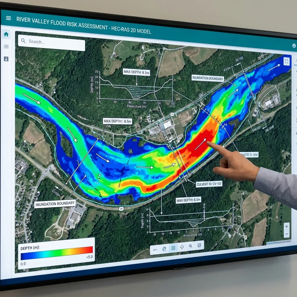
Boundary conditions represent influences from outside the domain. Poor inflow or downstream stage can distort results despite correct geometry. Selecting a boundary is a physical assumption, not merely a software option. Document location, source, time coverage and influence on the study area so owners understand the external conditions behind the results.
Inflow discharge and hydrographs
Steady runs use selected discharges; unsteady runs need rising and recession limbs. A peak alone does not define volume or timing. Check interval, start and end times, units and tributary synchronisation. For 2D inflows, line location and terrain interaction matter. Misplaced inflow can create false routes. Record hydrological source and application to prevent copying or time-offset errors.
Downstream stage
Lakes, reservoirs, seas and controls may govern downstream stage. Align observed or justified time series with the model datum; depth is not absolute stage. State which tides, waves or operations are represented. Joint inflow and downstream extremes require consideration and do not automatically define a return-period event. Compare plausible stages to assess boundary influence.
The normal-depth assumption
Normal depth estimates stage using Manning conveyance and an assumed friction slope, not necessarily a short local bed slope. Place it sufficiently far downstream where the approximation is suitable. Convenience does not justify using it in bridge backwater or lake influence. Test slope and boundary location against critical results. Missing data does not mean negligible influence.
Initial conditions and time coverage
Initial water and flow conditions affect early simulation behaviour. Inappropriate dry or filled starts can create artificial transients; choose suitable warm-up or equilibration. All series must cover the run with consistent time zones, dates and intervals. A one-hour shift can misalign tributary peaks. Inspect time series as well as peak maps for startup effects and continuity.
Checking boundary influence
If moving the outlet downstream materially changes project levels, the original location may influence results. Likewise report sensitivity to plausible normal-depth slopes. Hold other settings constant, review volume balance and warnings, and reject physically unsuitable conditions even if they run. Name each boundary and record its type and source for later revisions.
Delivering a reproducible model
A hydraulic-model delivery package should include the software version, terrain, geometry, flow files, computation plan and output settings. Screenshots alone do not allow the model to be rerun or later project revisions to be assessed. Define the coordinate system, elevation reference and units clearly in the report. Each scenario's name, data source and changed parameters should be traceable. This allows the design team to identify the calculation conditions associated with every map.
Review volume balance, computation warnings, water-level and flow time series at important locations, and the physical meaning of the results together. A run that finishes without errors is not, by itself, engineering verification. Explain areas with insufficient data and processes the model cannot represent. For the owner, the delivery scope can be defined through the required maps, technical report, model files and any alternative-design comparisons. Sharing the study boundary and available surveys with ArchSu helps describe the modelling requirements realistically.
Sources and related articles
Let's discuss your project's data requirements and reporting scope.
Request a project quote