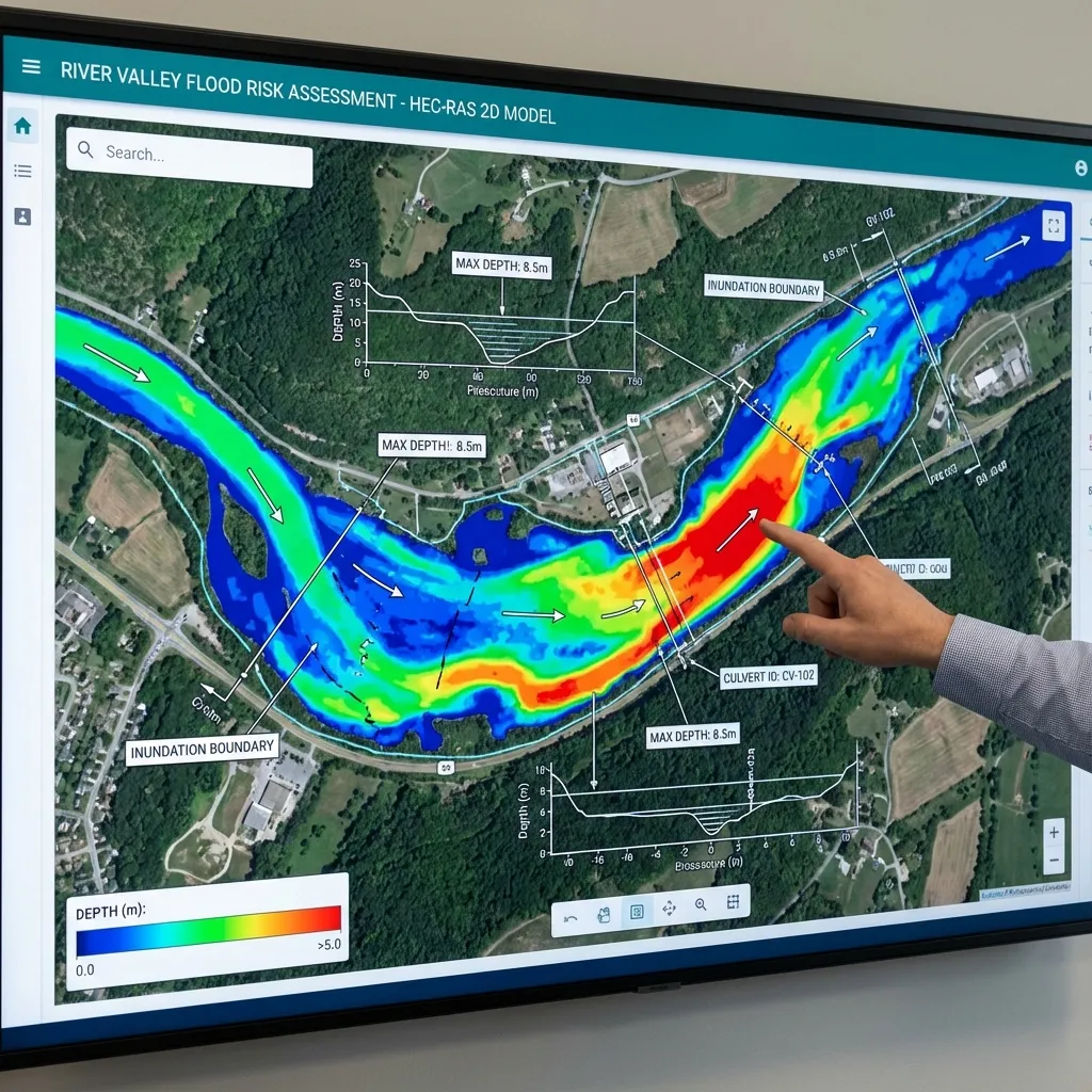
Terrain largely controls flow routes and storage. Fine resolution cannot compensate for erroneous elevations or missing channel beds. File size and cell spacing matter less than suitability for the engineering question. Prepare HEC-RAS terrain alongside measured sections, controls and elevation references, distinguishing its mapping and computation roles.
Resolution is not accuracy
Resolution is horizontal cell size; vertical accuracy is agreement with real elevations. A one-metre grid does not guarantee elevation accuracy. Review survey method, control points and processing. Resampling adds no field information. Small elevation errors can alter shallow inundation boundaries. Report source, date and accuracy limitations rather than resolution alone.
Representing submerged channel beds
Some surveys record water surface rather than the submerged bed, making channels artificially shallow. Suitable channel or bathymetric surveys may be needed. One-dimensional cross-section geometry and mapping terrain serve different roles; in 2D, terrain directly affects cell and face properties. Document channel sources, integration and interpolation instead of silently accepting missing beds.
Structures and flow controls
Roads, levees and banks control passage elevations. A bridge deck shown as a solid embankment may block a real opening; culverts need explicit geometry. Distinguish surface from bare-earth models. Raising terrain is not suitable for every obstacle. Breaklines align faces to controls but do not correct bad elevations. Explain structure representation using measured data.
Coordinates, datums and terrain seams
Check alignment, units, vertical references and overlapping elevations when joining sources. Unit or datum differences create artificial steps. Keep project and layers spatially consistent. A systematic 0.5 m seam error requires source investigation, not finer cells. Inspect seams with sections and shaded terrain, and review missing areas, domain edges and genuine low routes.
Terrain acceptance checklist
Inventory source, survey date, resolution, accuracy and references. Compare selected points with independent measurements and flag missing beds, openings and road crossings. Keep original and modified versions separately with a change log. When improved data arrives, assess result differences at critical locations. The objective is transparent representation and early identification of gaps, not a claim of perfect terrain.
Delivering a reproducible model
A hydraulic-model delivery package should include the software version, terrain, geometry, flow files, computation plan and output settings. Screenshots alone do not allow the model to be rerun or later project revisions to be assessed. Define the coordinate system, elevation reference and units clearly in the report. Each scenario's name, data source and changed parameters should be traceable. This allows the design team to identify the calculation conditions associated with every map.
Review volume balance, computation warnings, water-level and flow time series at important locations, and the physical meaning of the results together. A run that finishes without errors is not, by itself, engineering verification. Explain areas with insufficient data and processes the model cannot represent. For the owner, the delivery scope can be defined through the required maps, technical report, model files and any alternative-design comparisons. Sharing the study boundary and available surveys with ArchSu helps describe the modelling requirements realistically.
Sources and related articles
Let's discuss your project's data requirements and reporting scope.
Request a project quote