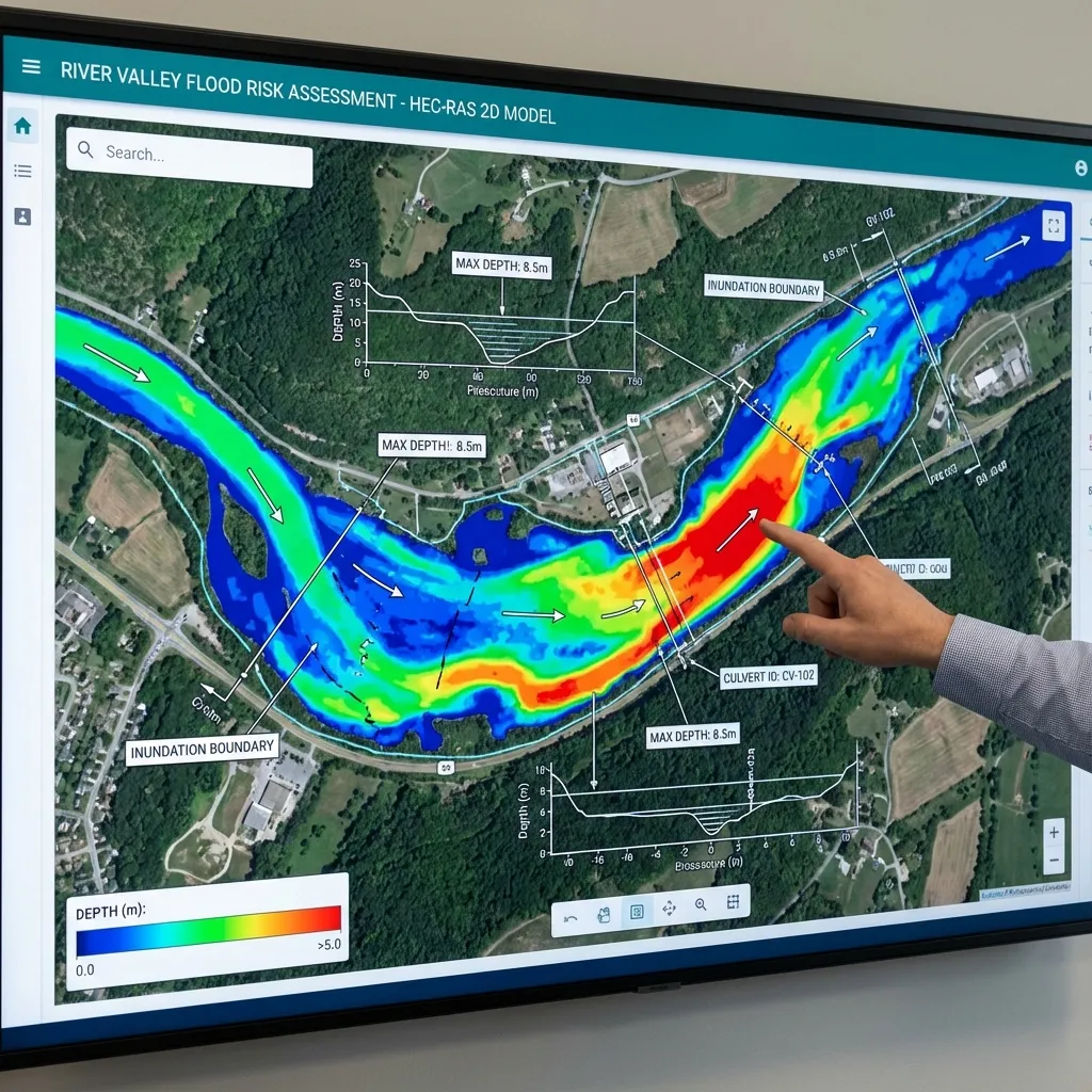
A 2D mesh is the numerical representation of the domain. Smaller cells cannot correct bad terrain, boundaries or control alignment. Owners should not judge quality by cell count. Engineers align the mesh to physical controls and check time stepping. The objective is reliable resolution of the study question rather than the heaviest calculation.
Relating cell size to physical scales
Consider narrow routes, banks, embankments and structure transitions. Broad regular areas may permit coarse cells, while controls need local refinement. Terrain-based subgrid properties do not remove the need to align controls. Correct channel faces may matter more than uniform refinement. Fine cells cannot create detail absent from coarse source terrain.
What a breakline provides
Breaklines align cell faces with banks, roads, levees or other controls. Crossing depends on face terrain and hydraulic properties. Misaligned controls can permit premature passage or incorrect routing. Check line position, spacing and resulting faces against surveys. Drawing a line alone does not correct elevation errors or create missing culverts.
Time step and Courant considerations
Time steps resolve flow and wave propagation. Courant considerations relate velocities, wave celerity, time interval and cell scale. Appropriate criteria depend on equations and solver; no single step or threshold suits all models. Refining cells without reviewing time steps can alter behaviour. Check peaks and abrupt changes, and document adaptive limits and targets rather than rely uncritically on defaults.
Stability differs from accuracy
Completion and few warnings do not prove physical accuracy. Review balance, water continuity, velocity directions and checkpoint time series. Investigate oscillations, local spikes and boundary concentrations. Refinement may expose geometry problems or introduce poor cells and transitions. Justify numerical smoothing physically. Stability is necessary but does not replace independent checks.
Mesh and time-step sensitivity checks
Compare base and locally refined meshes with identical inflows and boundaries, then test time steps separately. Assess checkpoint levels, velocity and volumes to isolate causes. Persistent important changes need investigation into resolution, terrain and controls before acceptance. Deliver cell-size distribution, breaklines, time settings and comparison tables; total cell count alone does not describe quality.
Delivering a reproducible model
A hydraulic-model delivery package should include the software version, terrain, geometry, flow files, computation plan and output settings. Screenshots alone do not allow the model to be rerun or later project revisions to be assessed. Define the coordinate system, elevation reference and units clearly in the report. Each scenario's name, data source and changed parameters should be traceable. This allows the design team to identify the calculation conditions associated with every map.
Review volume balance, computation warnings, water-level and flow time series at important locations, and the physical meaning of the results together. A run that finishes without errors is not, by itself, engineering verification. Explain areas with insufficient data and processes the model cannot represent. For the owner, the delivery scope can be defined through the required maps, technical report, model files and any alternative-design comparisons. Sharing the study boundary and available surveys with ArchSu helps describe the modelling requirements realistically.
Sources and related articles
Let's discuss your project's data requirements and reporting scope.
Request a project quote