HEC-RAS 2D
Engineering Guide
Technical details on our 1D and 2D hydraulic modeling capabilities and standard methodologies.
State-of-the-art Fluid Dynamics
HEC-RAS (River Analysis System) is the global benchmark for hydraulic modeling. Developed by the US Army Corps of Engineers, its 2D capabilities allow for the simultaneous solution of Shallow Water Equations across complex terrains.
Our proficiency in HEC-RAS 6.x enables us to model complex scenarios such as dam failure, urban street flooding with building obstruction effects, and bridge scour risks. The high-resolution results provide essential data for insurance risk assessment and government zoning policies.
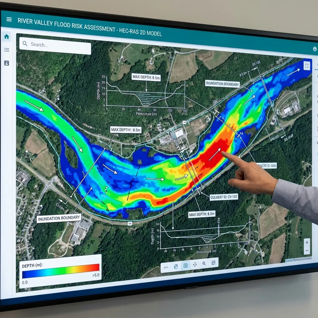
Unsteady 2D Flow
Modeling wave propagation and time-varying flood boundaries for maximum accuracy in dynamic environments.
Spatial Mapping
Integrating LiDAR and high-res terrain data into the HEC-RAS geometry for precise elevation modeling.
Why Choose ArchSu?
DSİ Compliance
100% compliant with latest State Hydraulic Works guidelines.
15+ Years Experience
Expert hydraulic engineers managing your projects.
Guaranteed Approval
We follow up on the reports until final official approval.
Fast Turnaround
Accurate modeling and report delivery within deadlines.
Frequently Asked Questions
It is a globally recognized software developed by the US Army Corps of Engineers to model river hydraulics, flood propagation, and hydraulic structures.
1D modeling calculates flow in one dimension (along the channel). 2D modeling simulates lateral and longitudinal propagation (two dimensions), extracting velocity vectors and depth maps.
High-resolution digital elevation model (DEM), stream cross-section surveys, and flood discharge data (hydrology) are required for accurate mapping.